       |
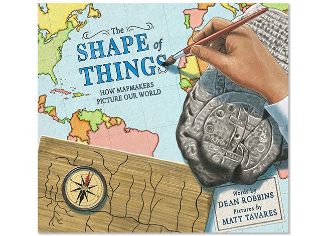
 The Shape of Things: How Mapmakers Picture Our World Written by Dean Robbins, illustrated by Matt Tavares A Junior Library Guild selection Download a high resolution cover image.    |
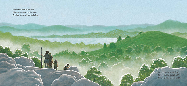
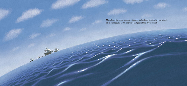
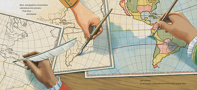
How did the first people explore the land they lived on? How did civilizations expand their boundaries and chart courses into new lands? Learn about the history of cartography across cultures in this ode to mapmaking through the ages. Join history's first mapmakers as they explore the wonders of the world! In these pages, you'll find the tools ancient people used to depict their surroundings, methods different cartographers developed to survey new lands, and how we've arrived at modern mapmaking today. Above all else, the thread that runs throughout thousands of years of civilization is the spirit of exploration that helps us measure the shape of things around us, the world we all share. Reviews: "This gorgeous, informative book explains in as clear a way as I've ever seen, what a map is, why they are important, and how the way they are made has changed over millennia....Tavares' digital illustrations are stunning in their beauty as they complement Robbins' straight-forward text. The research that must have gone into each illustration regarding clothing, tools, and setting makes each picture a work of art in and of itself. A fabulous book... Highly recommended." -Geo Librarian "A fantastic glimpse into the history of mapmaking and the adventurous spirit of explorers who wanted to see it all." -Kids Bookshelf "Map lovers and readers interested in the development of knowledge and technology will be drawn to Robbins' look at how we, over millennia, have documented earth's shape." -Booklist "Detailed, documentary-style illustrations by Tavares and eloquent prose by Robbins..." -Publishers Weekly
|
       |


